Description
- 🌎 Perfect For Education And Travel Planning - This World Map Features The Information On Countries Across The Bottom Of The Map, Including Flags, Population, Currency, Language And Country Area. Perfect For Teaching Geography Or Planning That Dream Around The World Trip.
- ✈️ Major Air And Sea Ports Marked - All The Main Docks And Airports Are Marked. Planning To Go Travelling? This Is A Great Tool When Planning To Travel From Country To Country So You Can Decide How Your Going To Get From Country To Country!
- 🗺️ Subtle Shading Indicates Mountain Ranges Plus The Simple To Follow Legend On This World Map Will Help You Differentiate Between The Size And Population Of Cities, Capital Cities Which Are Underlined And International Borders!
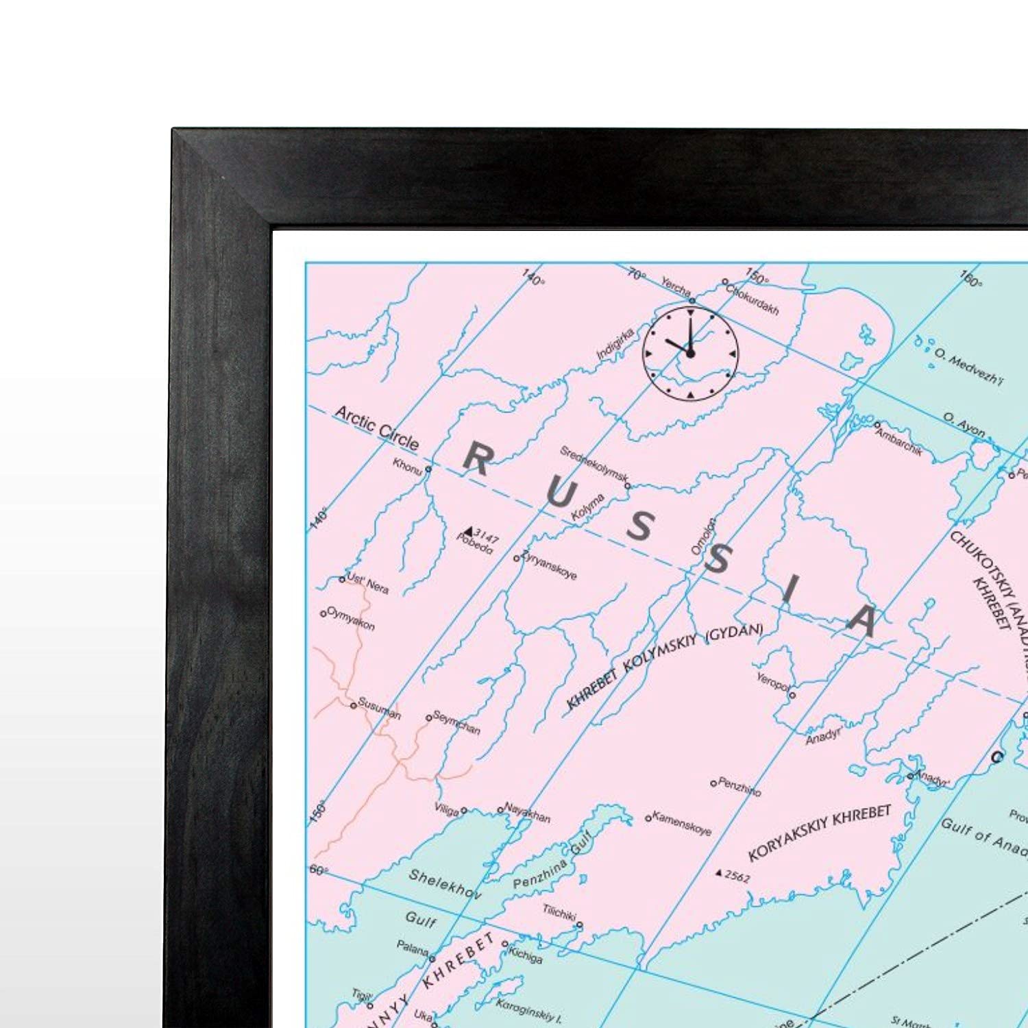
- 🕑 Time Zones - This Map Has Clear Markings For Time Zones, Across Of Top Of The Map Are Analogue Clocks Which Indicate The Separate Time Zones And Their Time In Comparison To GMT.
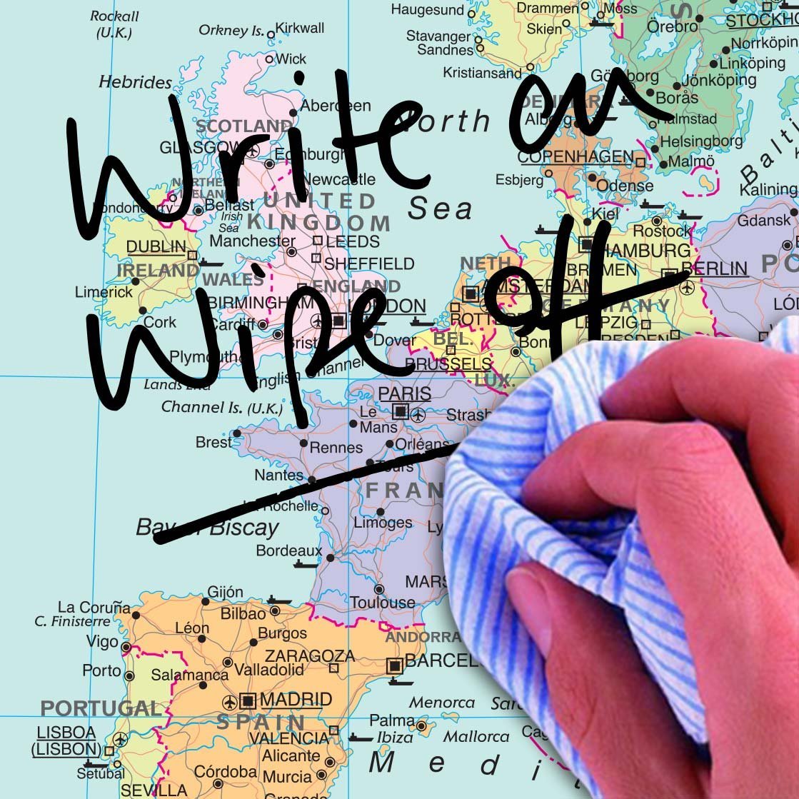
- 📐 Framed In A Solid Black Wood Frame - This Map Is Encapsulated Between Two Sheets Of Crystal Clear And Durable Plastic This Protects Your World Map And Allows You To Write On / Wipe Off With Wet Or Dry Wipe Pens. 120cm X 83cm
- ›See more product details
Map MarketingMap Marketing - Map Of The World - Large Laminated World Map 120cm X 83cm Political World Map, Country Information, Flags, Time Zones (Laminated Black Wood Frame)