
DOWNLOAD THE APP


Customer Services
Copyright © 2025 Desertcart Holdings Limited
DOWNLOAD THE APP
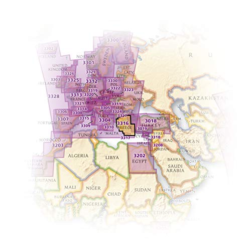
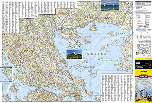
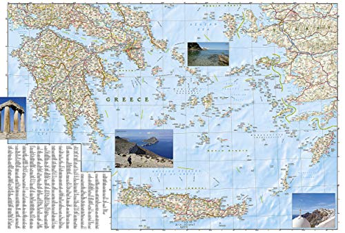


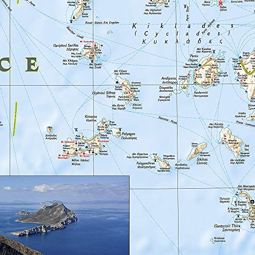
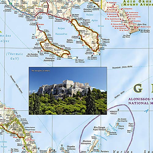


National Geographic Europa Greece Adventure Travel Map: Travel Maps International Adventure Map: 3316 (National Geographic Adventure Map) : National Geographic Society (U. S.): desertcart.in: Books Review: And this map is useful. Review: Greece is a big country with all sort of bits sticking out all over the place plus squadrillions of islands - and this gives a great overview with good detail considering its total coverage. We were looking at it to get an idea of the journeys involved by first flying into Athens for a few days and then island-hopping using ferries. In order to do the full job it is printed two-sided (with no annoying visible print-through) on plasticated waterproof paper that seems sturdy. The map also covers the connections with all neighboring countries, and it has all of the island of Crete. Ferry routes are shown in blue. As a route-planner and place-name guide it is excellent, and very useable for car journeys but obviously it won't go down to walking-trip level so once you've planned your trip using this to get an idea of distances and complexity you'll need to get individual walking maps for the islands/areas which you choose. Steve Riches, Northampton, UK.


| Customer Reviews | 4.5 4.5 out of 5 stars (354) |
| Dimensions | 10.8 x 0.4 x 23.5 cm |
| Edition | 2022nd ed. |
| ISBN-10 | 1566956218 |
| ISBN-13 | 978-1566956215 |
| Item Weight | 91 g |
| Language | English |
| Print length | 2 pages |
| Publication date | 1 January 2012 |
| Publisher | Natl Geographic Society Maps |
J**Y
And this map is useful.
S**S
Greece is a big country with all sort of bits sticking out all over the place plus squadrillions of islands - and this gives a great overview with good detail considering its total coverage. We were looking at it to get an idea of the journeys involved by first flying into Athens for a few days and then island-hopping using ferries. In order to do the full job it is printed two-sided (with no annoying visible print-through) on plasticated waterproof paper that seems sturdy. The map also covers the connections with all neighboring countries, and it has all of the island of Crete. Ferry routes are shown in blue. As a route-planner and place-name guide it is excellent, and very useable for car journeys but obviously it won't go down to walking-trip level so once you've planned your trip using this to get an idea of distances and complexity you'll need to get individual walking maps for the islands/areas which you choose. Steve Riches, Northampton, UK.
A**H
Another high quality NatGeo map. Almost didn't buy it because one of the map photos appeared to show the northwest corner of Greece overlaid with a large mileage index table. Rest assured this is not so. If you plan trekking in the remote countryside, buy a map from the locals or (better yet) hire a driver or guide. Thanks to seller - map arrived quickly in mint condition. abh
P**Y
Excellent map to use on holiday -- it really is tear-resistant and waterproof so easy to fold and refold. and shows a lot of detail.
H**N
Exactly as described.
Trustpilot
1 month ago
2 weeks ago